
When you’ve walked the same route so many times you know it by heart sometimes it can be fun to just wander, without a map, and see where you end up.
As a map lover, this isn’t something that comes naturally. The need to know where I am is ingrained, it’s part of my identity. I don’t come from the generation who navigates by smartphone, and even though I have a GPS, it’s not my first choice. For me, a paper map is my comfort zone. I can work out where I’ve been, where I am and how to get to where I’m going.
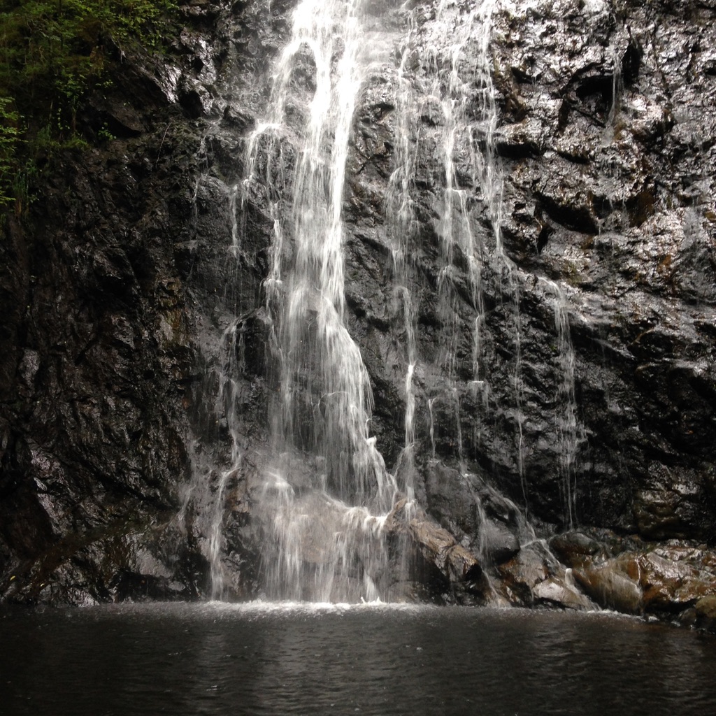
Last Sunday I was in Fort Augustus with every intention of doing a walk around the village and heading to the southern end of Loch Ness. It’s a walk I’ve done before so I didn’t have a map. Heading up from the cemetery I saw a sign that I hadn’t noticed before. Not only had I not noticed it before but I’d not heard of the waterfall that it was pointing to either. It indicated that it was two kilometres away and I thought to myself “Why not?”.
I headed into the forest along a track that soon narrowed into a footpath. Pushing my way through bracken that was taller than me I got the impression that not many people came this way. But, after a while I was standing at the bottom of a lovely waterfall tumbling down into a small pool. Below in Fort Augustus there were crowds of people but here I was on my own. At that moment I had a vague idea where I was so I carried on past the waterfall hoping to join up with the Corrieyairack Pass. With more time and a map it might have worked out!
As I knew I would, it wasn’t long before I turned to the map at home to figure it all out. Old habits die hard!